Press Release:
104 acres of forested land in the viewshed of the Blue Ridge Parkway in Jackson County are now conserved thanks to two local landowners and The Land Trust for the Little Tennessee. LTLT worked with landowners Joan Byrd and George Rector to conserve the tract of land in the Bo Cove area of Speedwell, near Cullowhee. The owners donated a conservation easement on their property, which LTLT holds in trust.
This is the second conservation easement that Byrd and Rector have donated to LTLT. The first was a 40-acre tract in the same area, donated in 2006. The new 104-acre easement connects the Nantahala National Forest to the original 40-acre easement, creating a corridor of conserved lands. The newly conserved tract includes miles of forested streams, including a portion of Bryson Branch. The conservation easement permits forest management, small-scale agriculture and the construction of one home, but ensures that the land will not be subdivided or used for a high-density residential or commercial development.
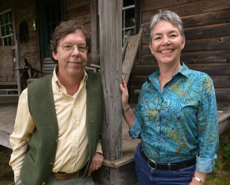
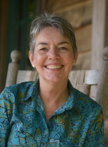
Byrd, a retired professor from Western Carolina University, and Rector, a potter, reside in Cullowhee and are passionate supporters of conservation in western North Carolina. “We both wanted in some way to help preserve the historical, rural character of Jackson County,” said Rector, who himself grew up on 30 acres of farmland in Andrews. “This is one of the fastest growing counties in the region, and as the population increases, it is essential to protect the resources that people will demand in the future: farmland, clean water and healthy forests.”
John Culclasure, LTLT’s Land Protection Manager, was particularly pleased to work on this project. “This project conserves over a mile and a half of forested streams, whose cool waters are important for fish and other aquatic life. The diversity of forest community types is important for wildlife, and the adjacency to the national forest ensures critters have room to roam. George and Joan have made a tremendous contribution to conservation in Jackson County. ”
This project was made possible thanks to funding support from the Conservation Trust for North Carolina.
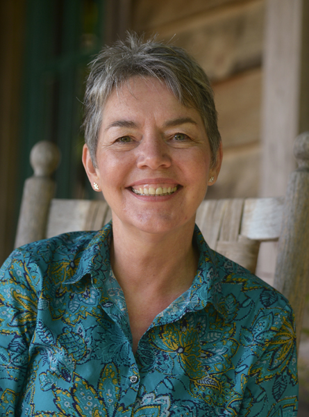
 “We have the option to purchase this office space and that is something that we are going to really look into in the coming year,” Taylor said of the group’s current headquarters in Franklin. “I also want to increase our educational efforts and get the word out in the community of what we do as an organization. Our motto is ‘Conserve, Restore, Connect’ and I would like to strengthen the connect aspect of our work.”