From The Franklin Press, April 4, 2014:
We’ve all heard the saying, “Beauty is in the eye of the beholder.” The truth behind this well-known phrase is obvious when you visit some of the many streams of the southern Appalachian Mountains, because each person’s idea of beauty determines the state of their land and streams. Do streams that appear “pretty” or “clean” to us also function as “healthy” streams? The answer to that question is a matter of perspective. To gain some perspective, let us consider a “beautiful” stream from the eyes of a fish.
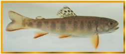
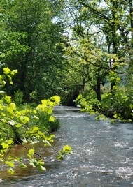
From the viewpoint of a native brook trout, for example, a deep pool in a tributary stream of the Little Tennessee River might provide relief from the summer heat. The stretch of stream this fish calls home was well shaded: trees, bushes, and grass all contribute to keeping the trout’s home cool by providing the same kind of insulation to the waterway that a fisherman’s ice chest supplies to cold beverages. Earlier in his life, the trout might have ventured downstream to hunt for bugs, frogs, and other food, but he could have been forced to turn back after reaching a section of stream with no logs or leaves in the water.
This “clean” stretch of stream would be unwelcoming to a trout, because it provides no hiding places from predators, and the unshaded water is also too warm for the trout’s liking. Warm water doesn’t hold oxygen as well as cooler temperatures, so breathing would be difficult. This lack of creature comforts would be unbearable when coupled with the scarcity of insects and other prey. The trout would not only have been hot and uncomfortable if he stayed, he would have gone hungry.
So, the trout might head back upstream to his home stretch, where there are deep pools to seek shelter and small rapids to frolic in where the water flowed quickly over cobbles and rocks. The trout might have a favorite hiding spot there under an old partially submerged log. That’s where he could have concealed himself from larger fish when he was young and small. Food is abundant in this home stretch of water. Insect larvae could be found among the gravel and mats of leaves that were caught up in fallen branches, and frogs could be snatched from the water’s edge. Further, when the trout found a nice female trout, he knew the gravels in his neighborhood would be attractive to her as she made a nest to lay eggs.
A good home for the trout is also good for other animals, such as native crayfish, stream salamanders, and many insects. The combination of gravel and fallen trees of the streambed serves the trout and his neighbors by providing the resources they need to survive and reproduce. In this natural state, the stream is beautiful to the trout, and rich with life.
While the trout cannot describe what makes his stream beautiful, his presence indicates his appreciation for its features. Natural debris such as fallen logs, leaves, sticks, and large rocks, create the variety of spaces that provide for the diverse needs of wildlife. A stream that looks messy, untidy or in need of a raking to us, is an ideal piece of real estate for a trout.
People can make streams inhospitable to fish and other animals when they landscape their yards with grassy lawns down to the water’s edge. This looks inviting to us and certainly provides a nice spot to watch the stream go by. So, a “healthy” stream may be different from what people see as a “beautiful” or “clean” stream. Yet, our perception of beauty can also be fluid like the stream itself. Many of us like to go fishing, and if we think fishfilled streams are beautiful, we may grow to appreciate the untidy and overgrown streams that fish need.
Many of you act as stewards of the land and water in this region, and it’s up to you to decide how to manage these resources: for your aesthetic values; as critical sources of clean water for the southeast; as the water supply for your home, livestock or irrigation; or as quality wildlife habitat. If you are interested in learning more about caring for your stream, contact Jason Meador, [email protected] or 828-524-2711, ext. 309, at the Land Trust for the Little Tennessee (LTLT) for information on the Shade Your Streams initiative or to participate in the LTLT rollout of the Southern Appalachian Stream Visual Assessment Protocol (saSVAP).
This column is produced by members of the Coweeta Listening Project (CLP), a branch of the Coweeta Long Term Ecological Research Program, [email protected].
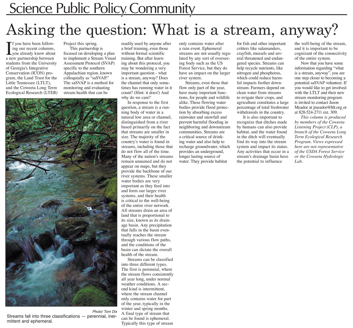
 If you have been following our recent columns, you already know about a new partnership between students from the University of Georgia’s Integrative Conservation (ICON) program, the Land Trust for the Little Tennessee (LTLT), and the Coweeta Long Term Ecological Research (LTER) Project this spring.